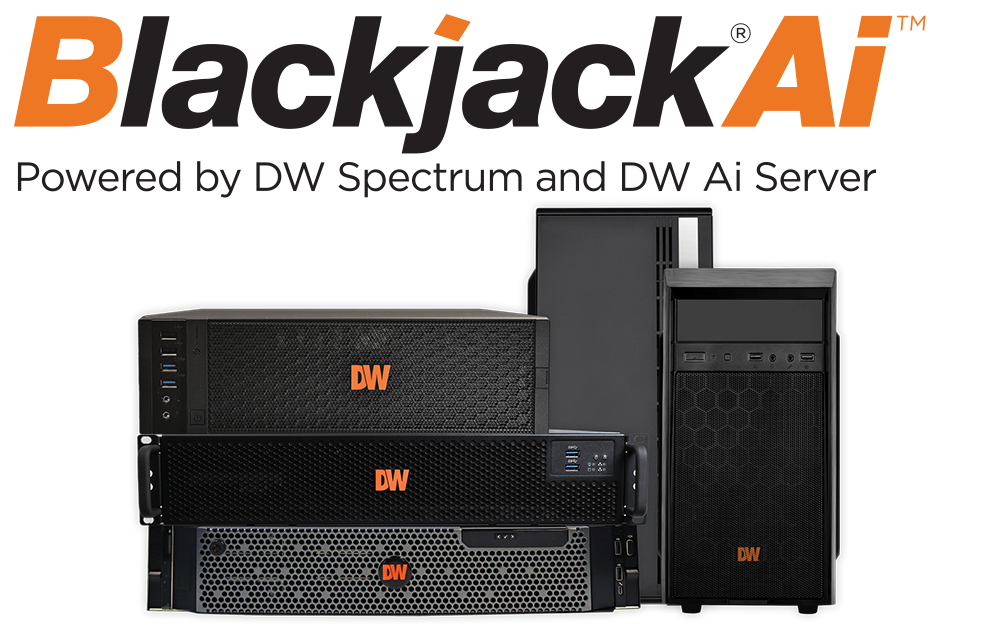
DWS-ENTxxMxC
DW Spectrum® Enterprise (Cloud-Managed VSaaS)
DW Spectrum® Enterprise is a cloud-managed VSaaS platform built for large, multi-site surveillance operations and managed service providers. Its unified dashboard centralizes system health, users, devices, alerts, and subscriptions, reducing IT workload and improving visibility. With infinite scalability, advanced mapping via DW Maps, hybrid cloud storage through DW Cumulus, and MSP-ready tools, it delivers proactive system oversight, lower operating costs, and smarter, data-driven decision-making. (Cloud-Managed Video Technology for the Managed Service Provider )
DW Spectrum® Enterprise is a cloud-managed VSaaS platform built for large, multi-site surveillance operations and managed service providers. Its unified dashboard centralizes system health, users, devices, alerts, and subscriptions, reducing IT workload and improving visibility. With infinite scalability, advanced mapping via DW Maps, hybrid cloud storage through DW Cumulus, and MSP-ready tools, it delivers proactive system oversight, lower operating costs, and smarter, data-driven decision-making. (Cloud-Managed Video Technology for the Managed Service Provider )
Features
- Scalable & Flexible: Supports small to large deployments with seamless expansion.
- Cloud-Enabled: Remote access and centralized management via DW Cloud.
- Smart & Secure: SOC2 compliance and encrypted data handling
- User-Friendly: Intuitive interface with customizable layouts and mobile access.
- Flexible Subscription Options - Customers can choose from 12- or 36-month plans, for a predictable cost model supports budgeting and long-term planning.
- Device-Agnostic: Auto-discovers 99% of IP cameras and integrates with 790+ IoT brands.
- Enterprise-Ready: Centralized control across sites, subscription model, and developer tools for custom solutions.
- Unified Cloud Management - Customers gain centralized control over all their surveillance systems—servers, cameras, users, and sites—through a single cloud-optimized dashboard. This simplifies operations and reduces the need for on-site management.
- Scalability Without Complexity - Whether managing one site or hundreds, DW Spectrum scales effortlessly. Customers can expand their systems without overhauling infrastructure, making it ideal for growing businesses and multi-location deployments.
- Advanced Visualization Tools - DW Maps provides GIS-based geolocation visualization, allowing users to monitor systems globally with intuitive mapping. This enhances situational awareness and speeds up response times.